
Wayfinding Design in Columbus, OH
Nicolson Associates provides wayfinding design services in Columbus, OH, helping organizations develop clear, coordinated navigation systems for buildings, campuses, and public spaces. We combine wayfinding strategy, architectural signage design, and environmental graphic design to help visitors, staff, and occupants understand their surroundings and reach destinations with confidence.
From healthcare campuses and educational institutions to commercial properties and mixed-use developments, we create wayfinding systems that address user needs, support daily operations, and complement each property's architecture.

Strategic Wayfinding Design for Columbus Buildings and Campuses
Complex buildings need clear navigation at every stage of the visitor journey. People must identify the right entrance, understand building connections, follow directions, and recognize their destination.
Nicolson Associates treats wayfinding signage as a coordinated planning and design process, not a collection of individual signs.
We study how people approach a property, move through its spaces, and make decisions at important intersections. Our team evaluates circulation patterns, destination hierarchies, architectural conditions, and operational needs to establish a consistent navigation framework. This strategy guides signage placement, messaging, and visual design while supporting the building's function and identity.

Our Wayfinding Design Services in Columbus
We work with architects, developers, property owners, and facility teams to plan and design wayfinding systems for new construction, renovations, campus expansions, and existing buildings.
-

Wayfinding Strategy and Master Planning
We evaluate entrances, circulation routes, building connections, destinations, and decision points to establish a practical navigation strategy. Our planning process identifies where visitors need guidance and how directional information should connect throughout the environment. We develop destination hierarchies, route logic, and signage priorities that reflect the needs of different user groups. We also consider future facility changes and operational requirements when planning wayfinding.
-
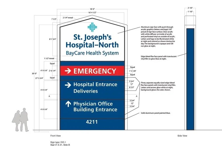
Interior and Exterior Signage Design
We develop coordinated sign families that help people identify destinations, follow routes, and understand important facility information.
Depending on the project, the signage program may include:
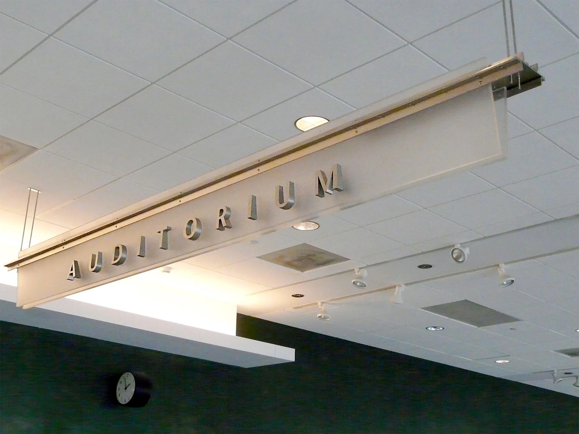
Directional signs for corridors, intersections, parking areas, and circulation routes.
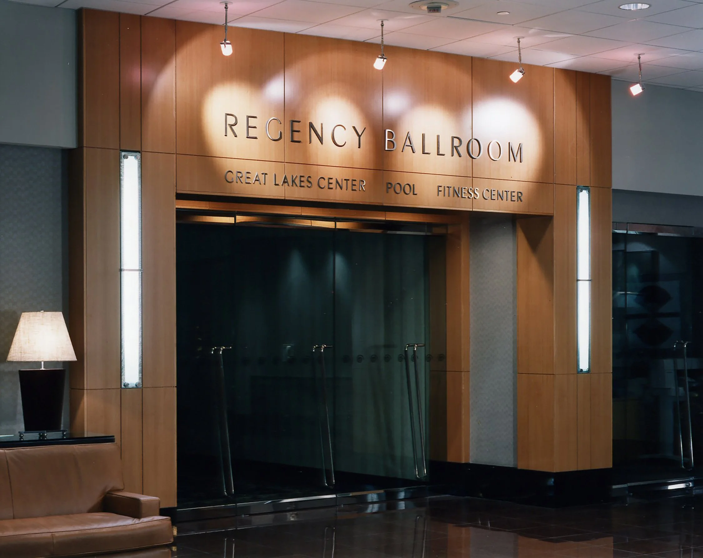
Identification signs for buildings, rooms, departments, and other destinations.
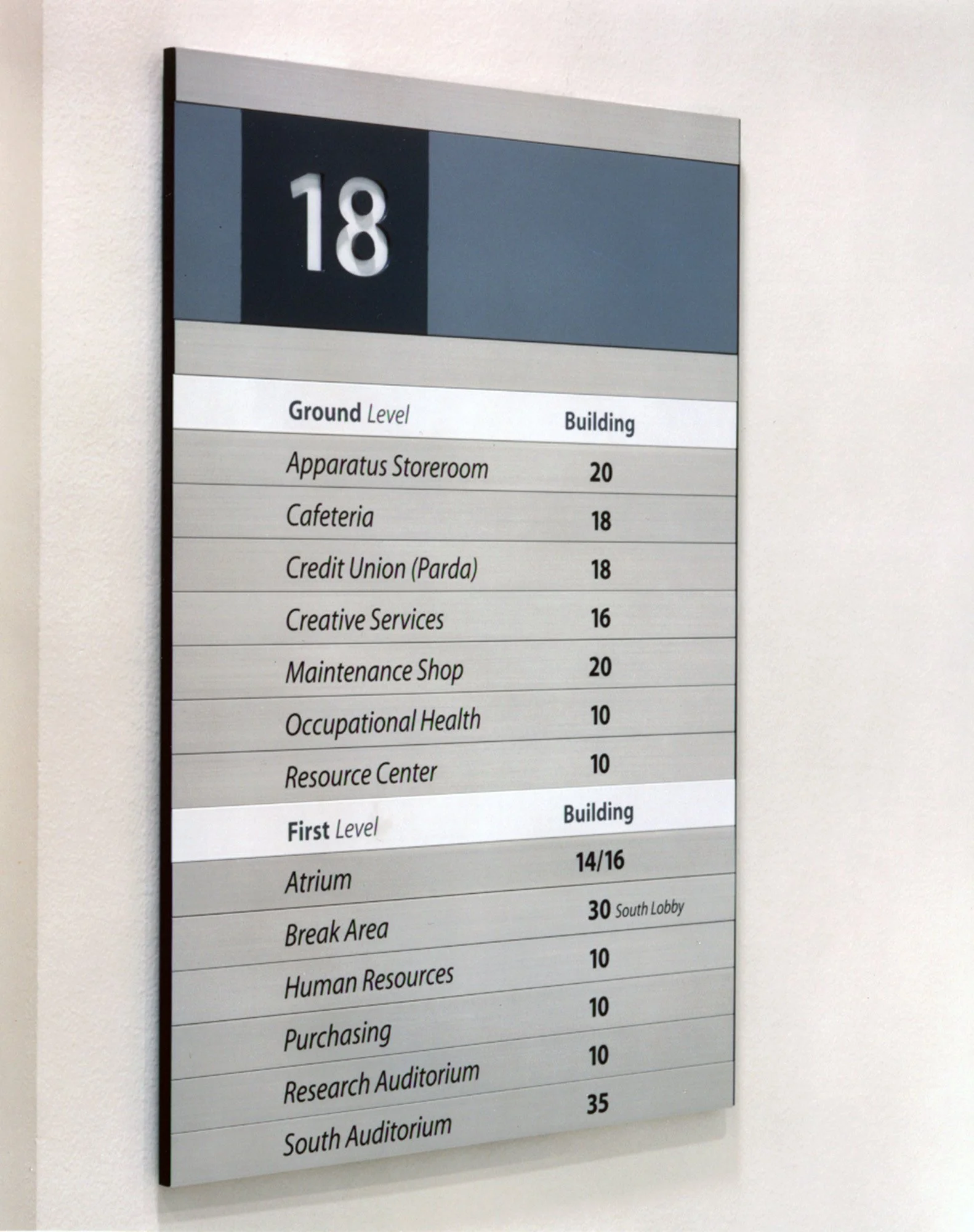
Informational signs, directories, and maps that support visitor orientation.
Regulatory and safety signs that communicate facility rules and safety information.
Signage elements that address applicable accessibility requirements.
We coordinate typography, colors, symbols, layouts, and materials to create a consistent visual language across interior and exterior spaces.
-
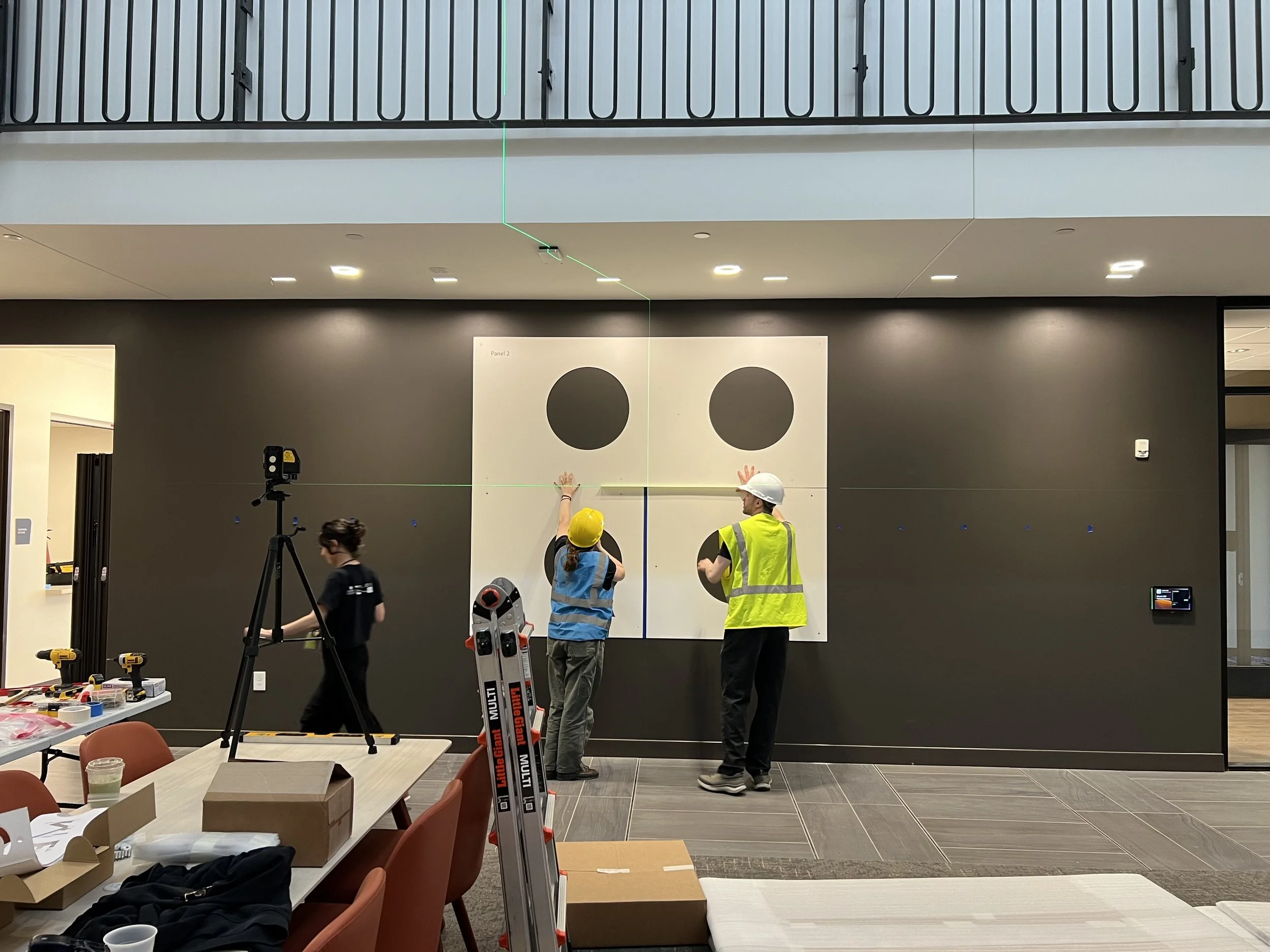
Sign Location Plans and Message Schedules
We prepare sign location plans and message schedules that organize signage information for project teams.
These documents identify proposed sign locations, sign types, destination names, directional messages, and relevant design requirements.
Our coordinated documentation helps architects, owners, contractors, and fabricators understand how each sign contributes to the overall navigation system.
-
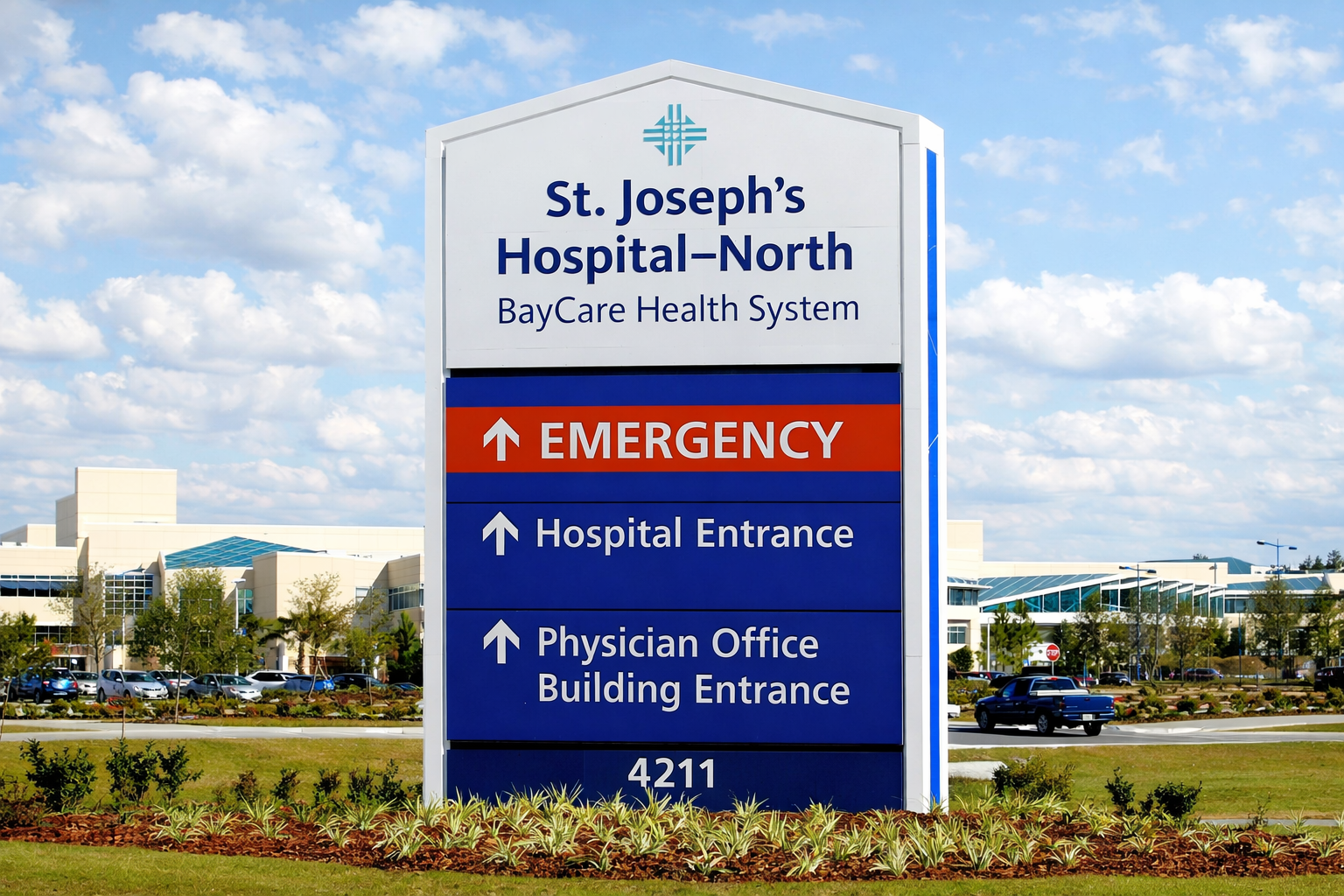
Environmental Graphic Design
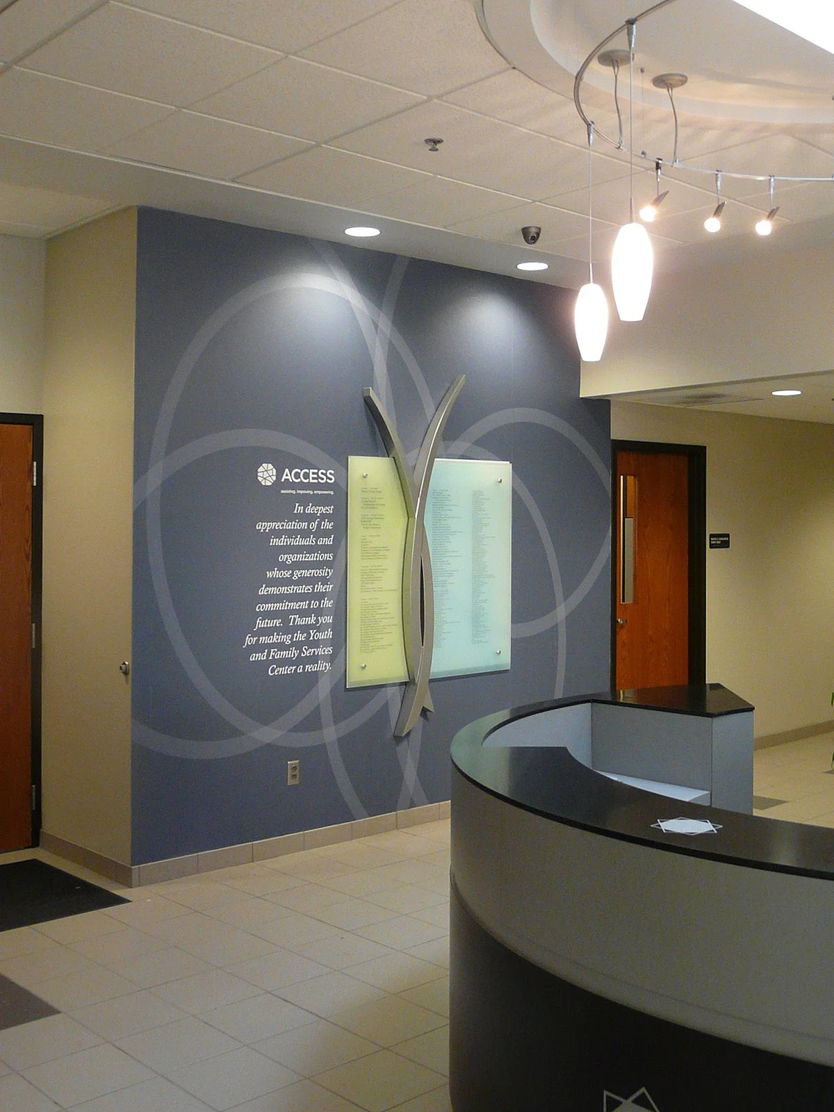
Wayfinding and environmental graphics connect navigation with a place's identity.
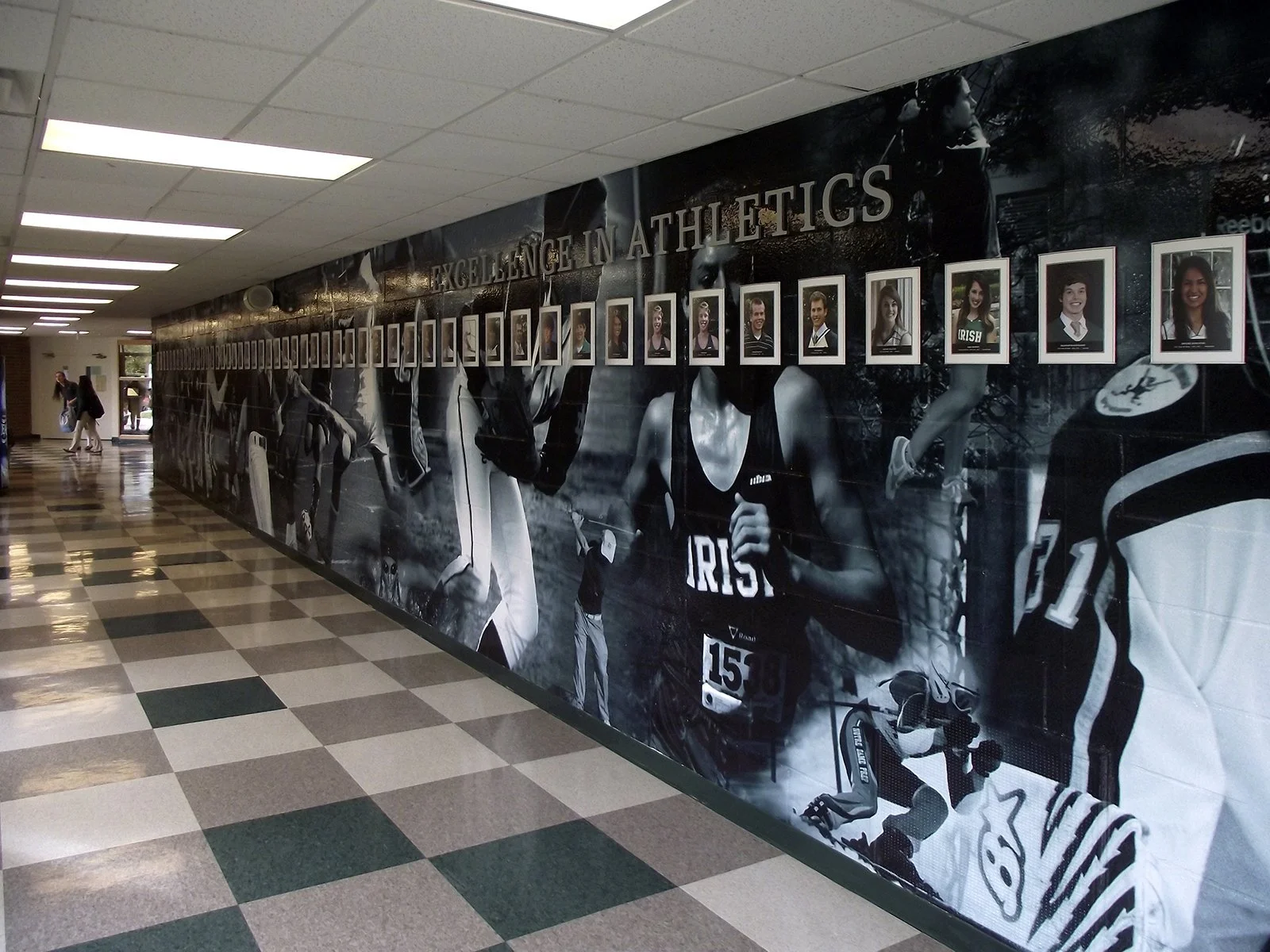
Our environmental graphic design services integrate typography, color, architectural graphics, and visual storytelling into the built environment. We develop graphics that reflect organizational identity, support visitor orientation, and complement the property's architectural character.
-

Signage Documentation and Implementation Support
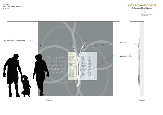
We prepare design intent drawings, sign schedules, specifications, and bid packages to communicate signage requirements. Depending on project needs, we support competitive bidding or design-build delivery. We coordinate with architects, contractors, fabricators, and other project stakeholders to address design questions and maintain consistency throughout implementation.
Our Wayfinding Planning and Design Process
Our process combines an understanding of user behavior with spatial analysis, signage design, and implementation coordination.
1. Understand the People and Environment
We begin by reviewing the property's architecture, operations, user groups, and navigation challenges. Through stakeholder discussions, site reviews, and circulation analysis, we identify important destinations, confusing routes, and locations where visitors need clearer guidance. These findings establish priorities for the overall wayfinding strategy.
2. Establish the Navigation Framework
We analyze site plans, entrances, pedestrian routes, interior circulation, building connections, and destination relationships. This information guides destination terminology, directional messaging, sign placement, and information hierarchies. We organize the system around the decisions people make as they move from arrival points to their destinations.
3. Develop the Signage Design
We translate the navigation framework into a coordinated family of signage and environmental graphics. Our designs consider legibility, visibility, typography, color, materials, accessibility requirements, and architectural integration. We also establish consistent relationships between exterior identification, interior directional signs, directories, and other information elements.
4. Coordinate Documentation and Implementation
We develop drawings, message schedules, and specifications that communicate signage requirements to the project team. Our team supports implementation coordination according to the project's delivery approach. We work with relevant stakeholders to address design details and maintain consistency through fabrication and installation.
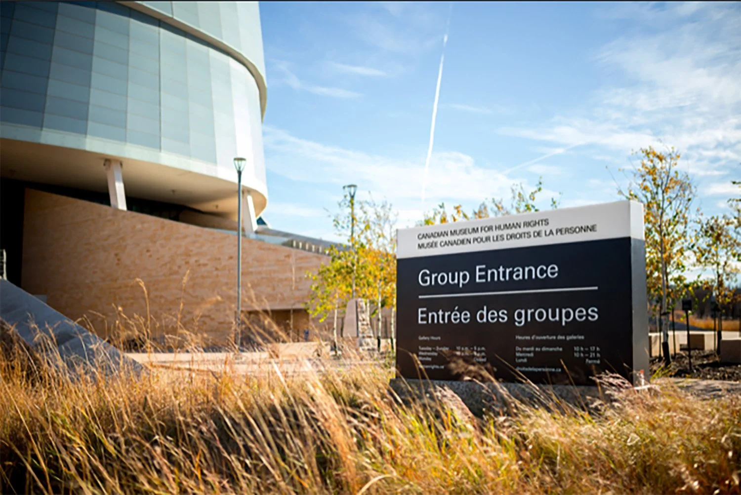
Wayfinding Design Solutions for Columbus Industries
Columbus includes healthcare facilities, university campuses, government buildings, commercial properties, and cultural destinations. Each environment presents different navigation challenges. We develop wayfinding strategies that reflect each property's circulation patterns, user needs, and operational requirements.
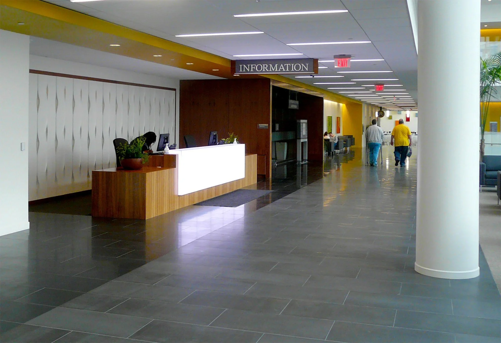
Hospitals and Healthcare Campuses
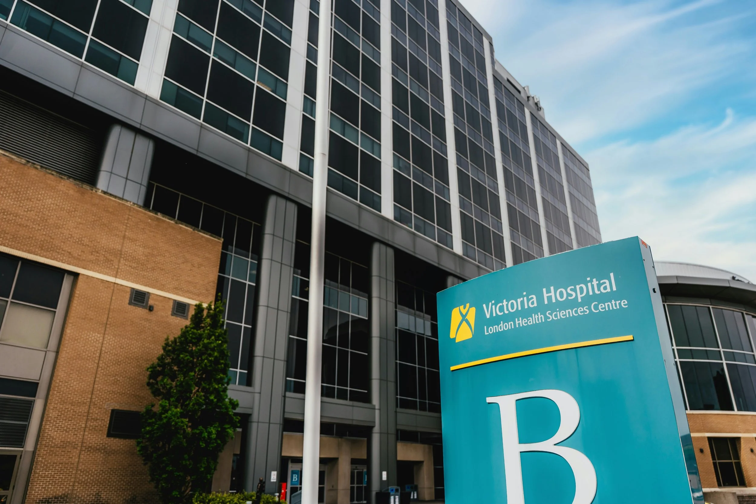
Hospitals, outpatient centers, and medical campuses often contain multiple entrances, departments, parking facilities, and connected buildings. Our healthcare wayfinding systems organize directional information to help patients, visitors, and staff navigate these environments. We coordinate destination terminology, departmental identification, parking guidance, and interior routes to support clearer navigation.
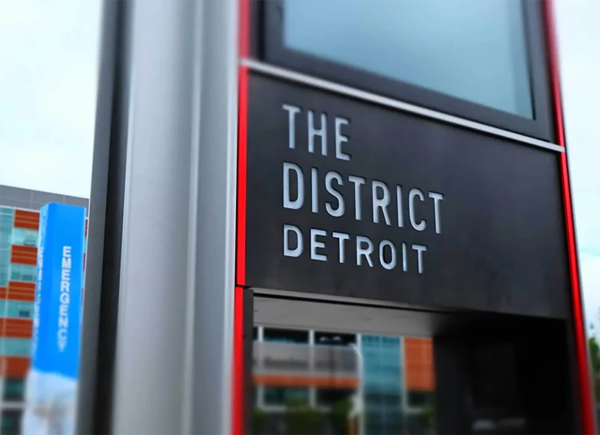
Government Buildings and Civic Spaces
Municipal buildings, public service facilities, and civic campuses serve people with different destinations and levels of familiarity. We design signage programs that help visitors identify public entrances, service departments, meeting spaces, and connected facilities.
Our planning considers accessibility needs, pedestrian circulation, and the relationship between buildings and public areas.
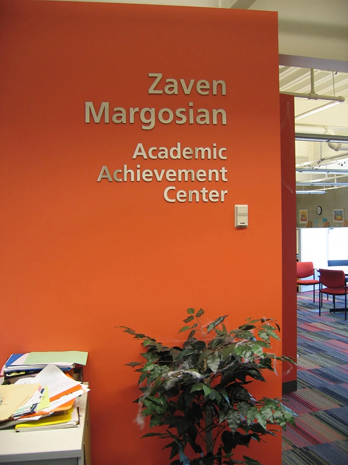
Colleges and Educational Institutions
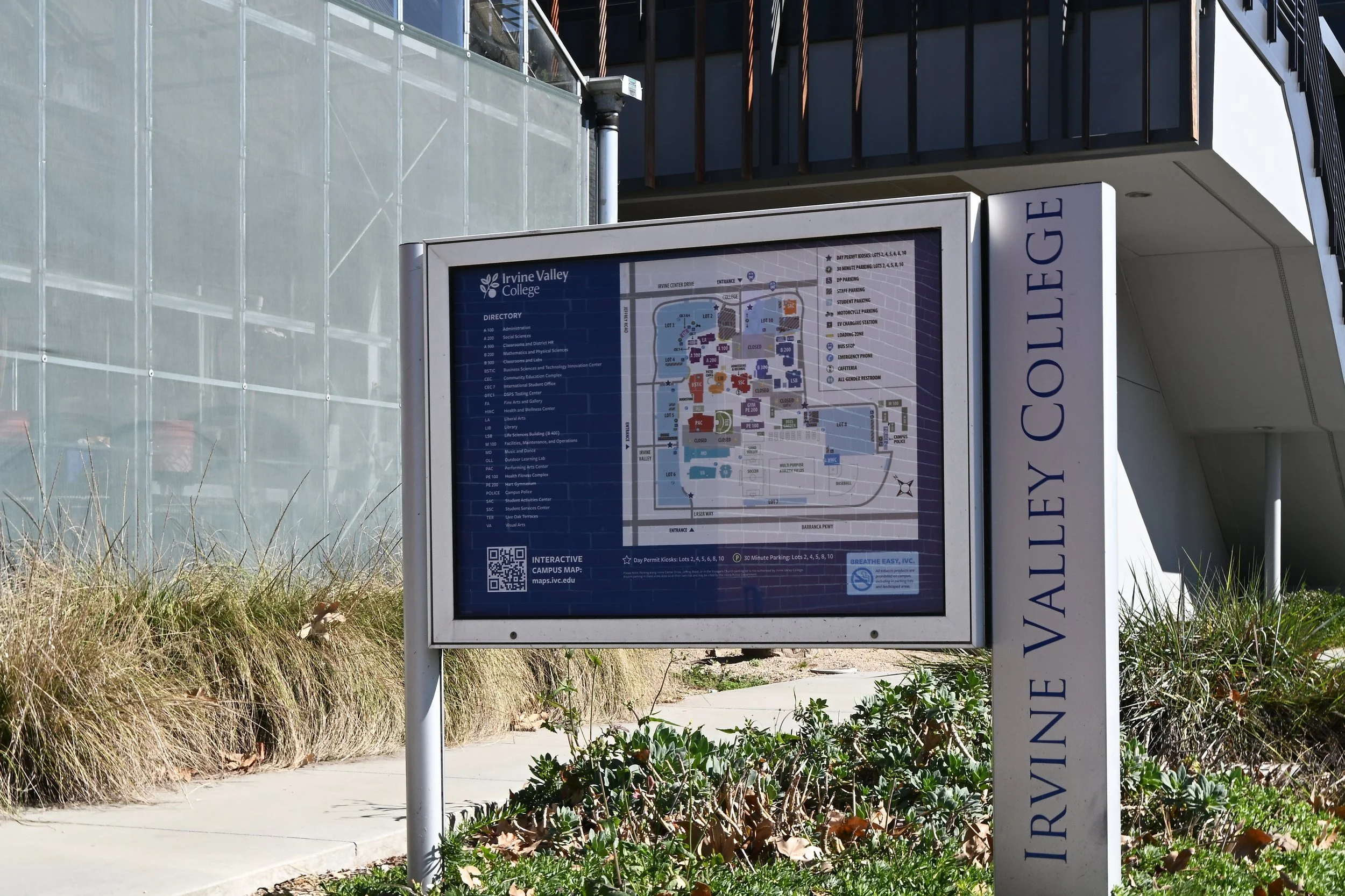
University and college campuses serve students, faculty, staff, and visitors across multiple buildings and outdoor spaces. Our higher education wayfinding solutions coordinate campus maps, pedestrian directions, building identification, parking information, and interior signage.
We help institutions develop consistent navigation systems that connect academic buildings, administrative offices, residence halls, and shared amenities.
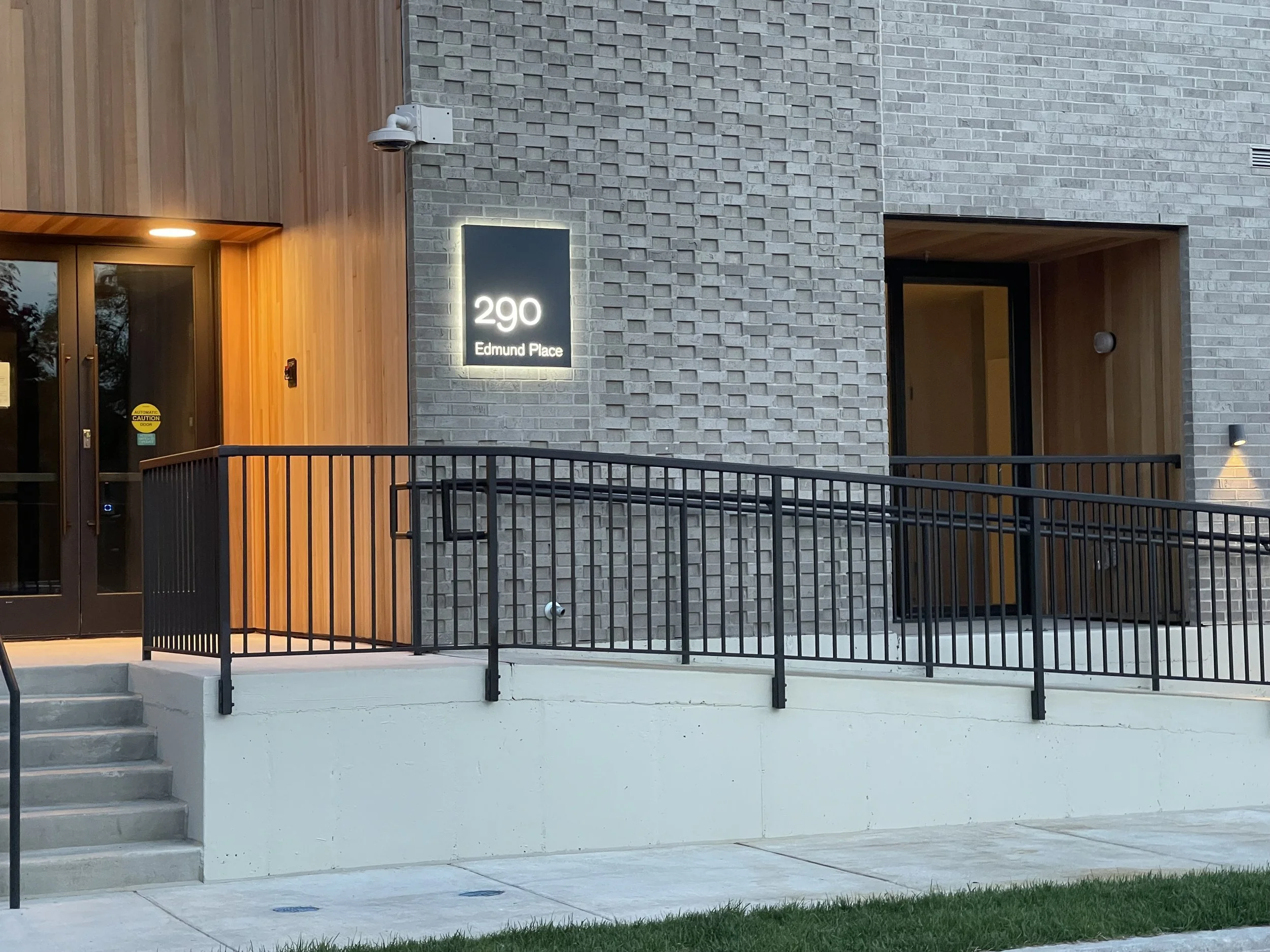
Commercial and Mixed-Use Developments
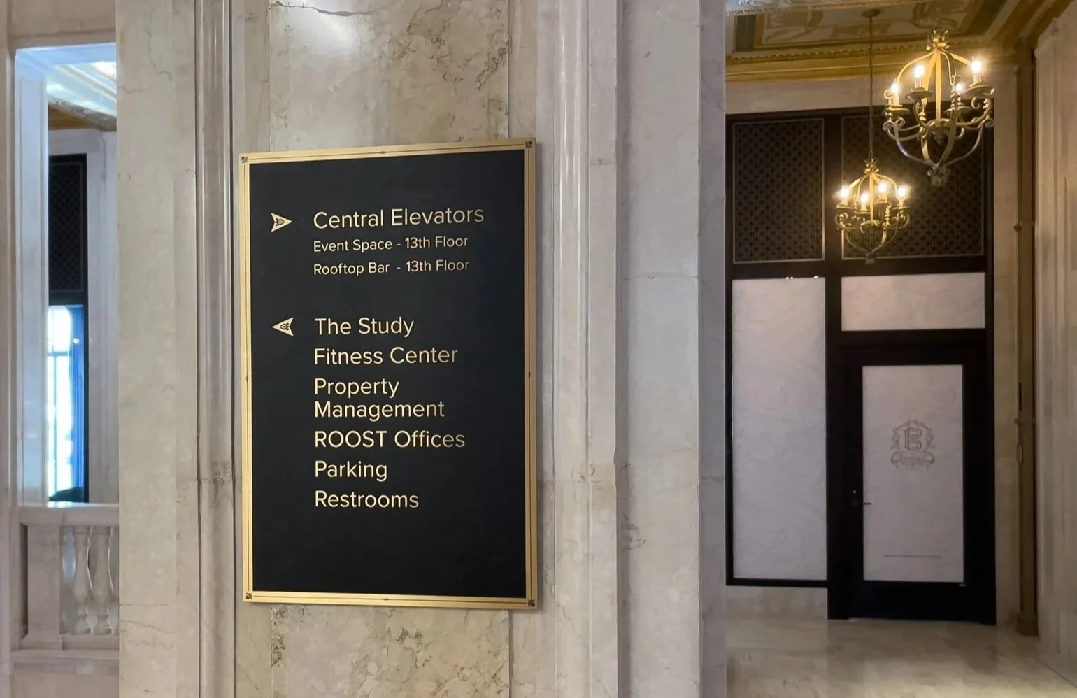
Office buildings, residential communities, and mixed-use properties often combine several entrances, tenant spaces, parking areas, and shared amenities. We develop navigation strategies that connect these destinations through consistent building identification, directories, and directional messaging.
Our approach supports residents, visitors, employees, and guests while reflecting the property's architectural identity.
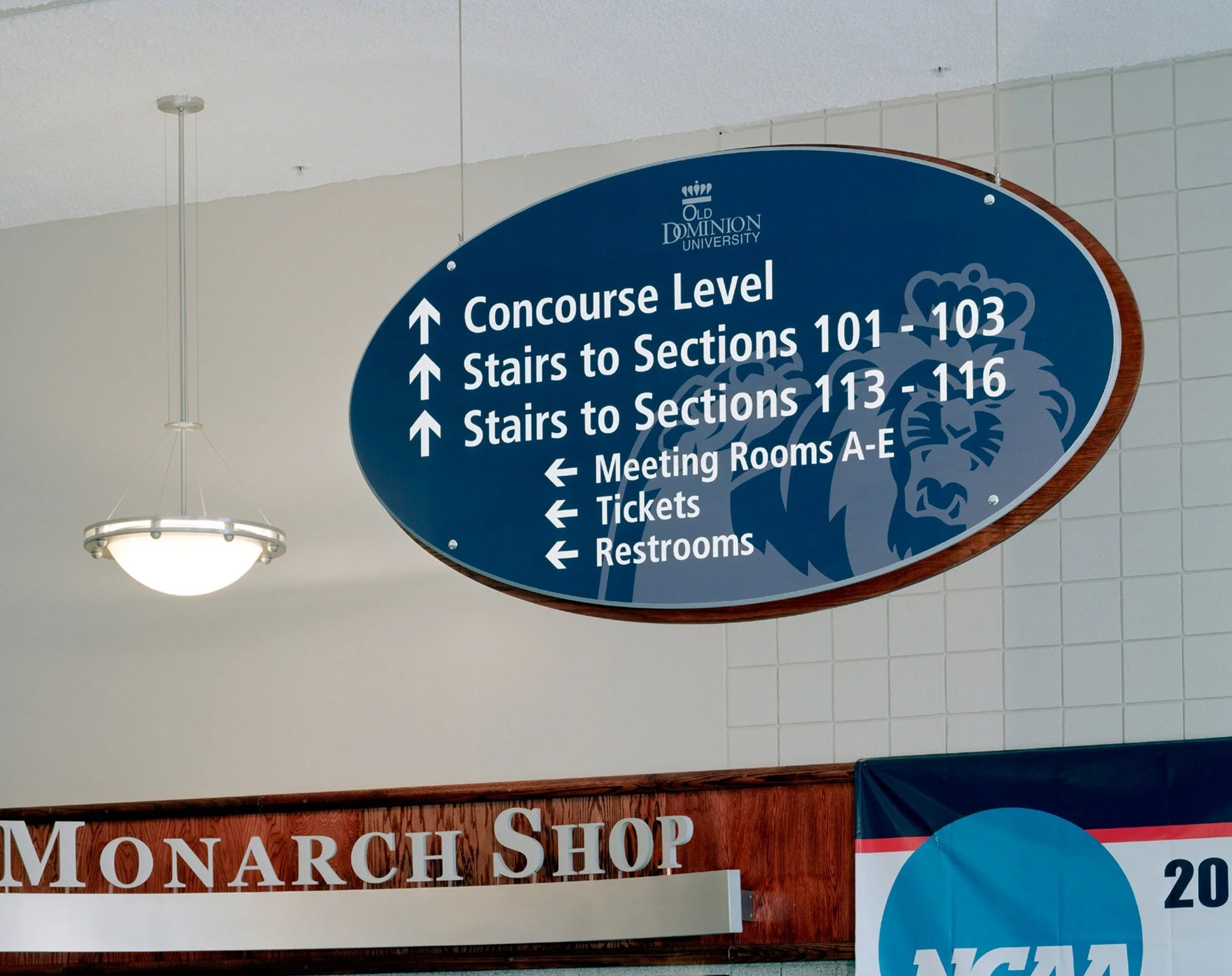
Museums, Theaters, and Cultural Venues
Museums, performing arts centers, and cultural institutions need navigation systems that support visitor movement without distracting from the space's experience. We coordinate signage for entrances, exhibition areas, performance spaces, gathering areas, and visitor amenities.
Our designs connect directional clarity with the building's architectural and cultural character.
Addressing Wayfinding Challenges Across Columbus Properties
Columbus's institutional campuses, healthcare facilities, downtown buildings, and developing mixed-use environments may require navigation across multiple buildings, entrances, and circulation routes.
Nicolson Associates develops coordinated strategies that address these challenges throughout the visitor journey.
-
Connecting Parking Areas, Entrances, and Destinations
Visitors often begin navigating before they enter a building.
We evaluate how drivers and pedestrians approach a property, find parking, identify entrances, and continue to interior destinations.
Our planning connects exterior signage with building identification, lobby directories, elevators, and interior directional systems.
-
Coordinating Navigation Across Multiple Buildings
Large institutional properties may contain several buildings, pedestrian connections, parking facilities, and shared destinations. We establish consistent building names, directional information, maps, and sign standards to help visitors understand connections between facilities.
We also consider how exterior and interior signage work together to support the complete route.
-
Improving Existing Building Wayfinding
Renovations, department relocations, and changes in building use can create inconsistencies between current destinations and existing signage. Our wayfinding audits and existing signage assessments identify outdated messages, confusing sign placement, missing information, and inconsistent signage.
We use these findings to recommend targeted updates or a broader wayfinding redesign.
-
Planning for Future Facility Changes
Buildings and campuses evolve as organizations expand, reorganize departments, or introduce new services. We consider how directories, destination names, message schedules, and signage components may need to change.
This planning helps facility teams manage future updates while maintaining a consistent wayfinding system.
Why Choose Nicolson Associates for Wayfinding Design in Columbus?
Nicolson Associates combines strategic wayfinding consulting, architectural signage design, environmental graphics, and project coordination to help organizations plan navigation systems for complex environments.
Our approach emphasizes:
Human-centered planning: We study user behavior, circulation routes, and navigation challenges before developing signage solutions.
Architectural integration: We coordinate signage with the property's layout, materials, and visual identity.
Detailed design documentation: We develop sign location plans, message schedules, specifications, and design-intent drawings to guide implementation.
Collaborative project delivery: We work with owners, architects, facility teams, contractors, and fabricators according to project requirements.
Long-term adaptability: We plan for future renovations, operational changes, and evolving destination information.
Our experience across healthcare, education, civic, commercial, and cultural environments helps us develop appropriate wayfinding strategies for different building types.
Frequently Asked Questions About Wayfinding Design in Columbus
-
Wayfinding design helps people navigate buildings with clear directional information, readable typography, consistent symbols, and well-placed signs. Nicolson Associates considers accessibility needs during signage planning and coordinates design decisions with applicable accessibility requirements. Project teams must also review relevant building codes and ADA standards.
-
Multi-tenant buildings often contain shared entrances, elevators, parking facilities, and tenant directories. Nicolson Associates develops coordinated signage systems that help visitors identify businesses, find the right floors, and move between common areas. Consistent destination naming and directional messaging also help property managers keep navigation clear as tenants change.
-
Property owners should identify their primary user groups, common navigation challenges, building access points, and operational goals. They should also consider architectural conditions, accessibility needs, existing signage, and potential facility changes. These details help Nicolson Associates develop a wayfinding strategy that meets the property's needs.
-
Yes. Wayfinding systems can connect parking garages, pedestrian routes, building entrances, and outdoor destinations. Nicolson Associates develops directional signage, location identification, and navigation strategies that help people move from parking areas to their intended destinations.
-
Environmental graphic design uses typography, color, imagery, and architectural graphics to communicate a place's identity. Wayfinding signage provides directions and identifies destinations. Nicolson Associates coordinates these elements to create a consistent visual experience that supports navigation and reflects the property's character.
Start Your Columbus Wayfinding Design Project
Whether you're developing a new building, expanding an institutional campus, or improving navigation in an existing facility, Nicolson Associates can help you plan a coordinated wayfinding system.
We work with architects, developers, building owners, and facility teams to connect visitor needs, architectural design, and operational requirements through strategic signage planning.
Tell us about your Columbus project and the navigation challenges you want to address.